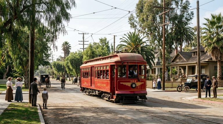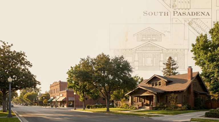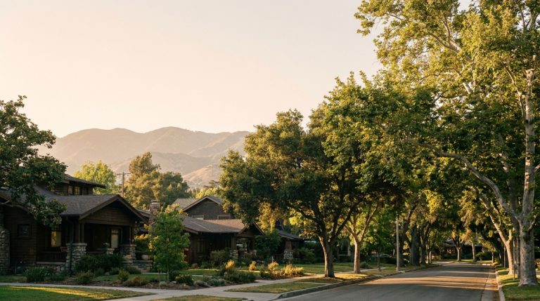
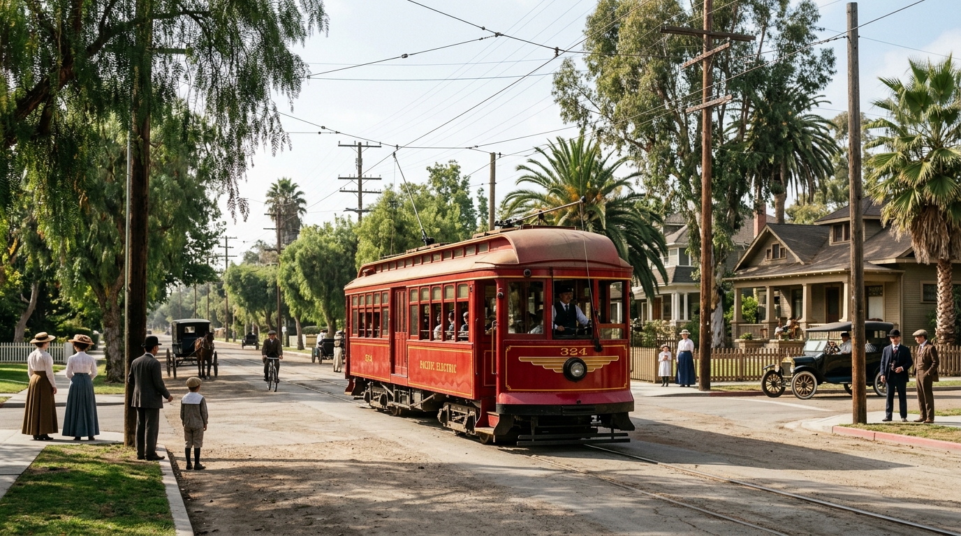
South Pasadena Red Car history reveals how electric streetcars helped transform a small agricultural community into an important early suburb of Los Angeles. Before automobiles became the dominant way to travel, rail connections allowed residents to move between neighborhoods, workplaces, shops, and nearby cities.
During the late nineteenth and early twentieth centuries, South Pasadena experienced significant change. Farms and orchards gradually gave way to homes, commercial buildings, and transportation corridors. The Pacific Electric Railway became an important part of that transition.
Today, South Pasadena retains many historic buildings and streetscapes from its early development. Understanding the Red Car era helps explain why these places appeared where they did and how transportation influenced daily life.
This guide explores the arrival of electric railway service, its effect on local development, and the historical resources that help residents understand this important period.
How Electric Streetcars Helped South Pasadena Grow
South Pasadena incorporated on March 2, 1888, with a population of slightly more than 500 people. At that time, much of the surrounding landscape still supported orchards, agricultural activity, and scattered residential development.
The community’s roots extended into the earlier settlement known as the Indiana Colony. Residents in the southern portion of the settlement developed their own civic identity before establishing a separate city.
Rail transportation helped connect this growing community with the larger region. As travel became easier, residents gained more opportunities to live in South Pasadena while participating in economic activities elsewhere.
South Pasadena before the Pacific Electric Red Cars
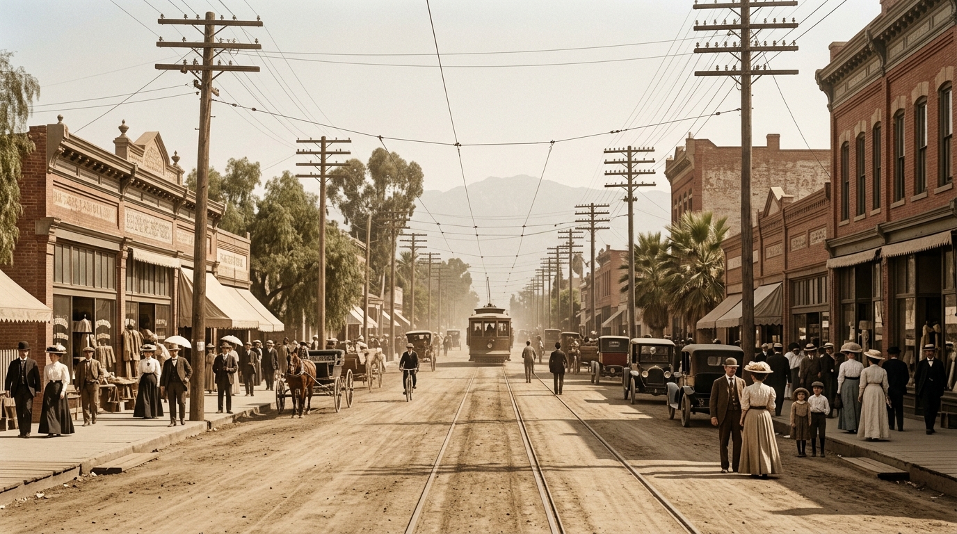
During the 1870s, settlers established farms and planted citrus groves across parts of what later became South Pasadena. Roads and local transportation routes served an area that remained considerably less developed than the modern city.
By the late 1800s, residential neighborhoods and commercial activity had started changing the landscape.
The Raymond Hotel also helped attract visitors to the area. Tourism and improved transportation contributed to the region’s expanding reputation.
Yet daily travel required more planning than it does today. Residents could not depend on private automobiles, modern highways, or extensive bus networks.
Rail connections created opportunities for development by making longer journeys more practical.
From agricultural settlement to a growing city
South Pasadena’s development involved several overlapping changes. Agricultural properties were gradually subdivided, homes appeared along new streets, and businesses established themselves near transportation routes.
Local improvements also supported growth. Schools, civic services, and commercial activity helped the community become more independent.
By the beginning of the twentieth century, developers increasingly promoted suburban living to people who wanted residential neighborhoods outside the busiest parts of Los Angeles.
Transportation access made that arrangement more attractive.
The City of South Pasadena’s historical account identifies the completion of the Pacific Electric Short Line as an important reason South Pasadena became one of the region’s early suburbs.
For background on the buildings that survived this period, read our South Pasadena historic preservation guide.
Why Fair Oaks Avenue became an important route
Historic studies of downtown South Pasadena show how changing transportation needs influenced the city’s street layout.
Before the modern Fair Oaks corridor took shape, the road historically known as Fair Oaks followed a different alignment near Columbia Street.
Road improvements eventually created a more direct route through part of Raymond Hill.
The city records that streetcar service began traveling down Fair Oaks Avenue in 1902.
This connection helped integrate the surrounding neighborhood with regional electric railway travel.
However, researchers should distinguish historic routes from modern streets. Road alignments, names, intersections, and railway infrastructure changed over time.
Old maps and photographs provide useful evidence for understanding those differences.
How the Red Car network supported suburban life
Electric railways connected communities across Southern California during a period of rapid population growth.
The Pacific Electric system became widely associated with its distinctive red interurban cars, which carried passengers across a large regional network.
For South Pasadena, these connections helped make daily travel beyond city boundaries more practical.
Residents could reach employment, shopping, educational opportunities, and other destinations without relying entirely on horses or privately owned vehicles.
At the same time, convenient transportation supported interest in residential property near accessible routes.
Why streetcars influenced homes and businesses
Reliable transportation can influence where people choose to live. During South Pasadena’s early suburban development, railway access made certain locations more convenient for commuters and visitors.
Businesses also benefited from customers arriving through established travel corridors.
Commercial buildings clustered along streets that already supported movement and public activity. These patterns helped shape South Pasadena’s historic core.
However, transportation was not the only influence. Land ownership, investment, population growth, architecture, and local planning also affected development.
The city’s surviving historic buildings therefore tell several connected stories.
Our South Pasadena historic landmarks guide introduces places that reflect the community’s development across different periods.
What Remains of South Pasadena’s Red Car Era Today?
The original electric railway network no longer operates as it did during the Pacific Electric era. Nevertheless, its influence remains visible in the city’s street patterns and historic commercial landscape.
Visitors who explore older parts of South Pasadena can still observe features associated with the years when rail transportation helped organize urban growth.
These include compact commercial areas, historic residences, civic buildings, and streets that connect neighborhoods with former transportation corridors.
Understanding those features requires careful research rather than assuming every old building once served railway passengers.
Explore Mission Street and the historic downtown
Mission Street has served as an important part of South Pasadena’s commercial identity for generations.
Its historic buildings and pedestrian-oriented character reflect the city’s development during the late nineteenth and early twentieth centuries.
Nearby streets also reveal how homes, shops, and transportation routes evolved together.
Visitors can appreciate this history through an ordinary neighborhood walk without needing access to restricted railway property.
Look for differences in building materials, storefront sizes, rooflines, and architectural details. These features can provide clues about when structures appeared and how owners used them.
How to research former streetcar routes
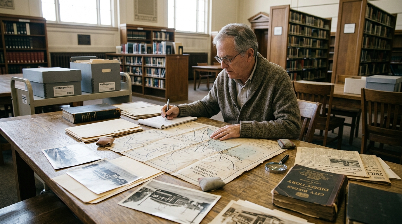
Start with historic maps, city directories, photographs, and planning documents. These resources can help identify former routes and explain changes to the street network.
The South Pasadena Public Library maintains a substantial Local History Collection, including thousands of materials related to the community.
Its holdings include historical photographs, newspapers, city directories, yearbooks, and landmark information.
The library also provides access to more than 2,000 historical photographs through online collections.
Researchers can use these materials to compare earlier streetscapes with present-day locations.
Visit the South Pasadena Public Library Local History Collection for official research resources.
When studying old photographs, pay attention to visible street signs, utility poles, railway tracks, storefronts, and surrounding buildings.
These details may help identify the location and approximate period of an image.
However, photographs need context. A picture that shows a streetcar does not necessarily prove which route it followed or the exact year of the scene.
Check captions and archival descriptions before making specific historical claims.
Maps may also use street names or boundaries that differ from today’s system.
Comparing multiple documents helps prevent mistaken conclusions about former routes.
The city’s downtown historical study offers another useful source. It discusses early settlement patterns, the evolution of Fair Oaks Avenue, and commercial development.
Researchers can use this material alongside original archival records to understand how transportation affected the physical city.
Property history provides an additional connection.
A home built during the electric railway era may reflect growing demand for suburban housing, but its construction date alone cannot establish that a particular resident used the Red Cars.
To investigate a specific building, consult our guide to researching South Pasadena house history.
City directories may identify former occupants and their occupations. Historic photographs can document building changes, while newspapers sometimes describe local transportation projects.
Building permits and other official records may clarify when owners constructed or altered a property.
Researchers should also recognize the limitations of surviving records.
Some documents have disappeared, and other materials may provide only partial information about a person’s daily life.
A strong historical account separates confirmed facts from reasonable interpretations.
For example, historians can establish that streetcar service influenced South Pasadena’s development without assuming that every resident depended on it equally.
Different households had different transportation needs, financial resources, and access to employment.
Likewise, the Red Car story should not overshadow the people and communities who shaped the region before suburban development.
The land around South Pasadena has a much longer history, including the Indigenous communities who lived along the Arroyo Seco and throughout the San Gabriel Valley.
Later settlement, agricultural development, and transportation expansion brought substantial changes to that landscape.
Recognizing these different periods helps create a more complete understanding of local history.
Modern preservation work also connects to the railway era. South Pasadena residents continue to discuss how older streetscapes and buildings can adapt to changing community needs.
Preservation does not require every street or building to remain unchanged. Instead, it encourages careful decisions about features that carry historical significance.
The city maintains a Cultural Heritage Commission that reviews projects involving designated historic resources.
Public records and planning documents offer insight into how these decisions affect the historic built environment.
Residents interested in transportation history can contribute by identifying old photographs, preserving family materials, and sharing verifiable recollections.
However, researchers should obtain permission before reproducing copyrighted archival images or publishing private family records.
The South Pasadena Public Library can explain procedures for accessing and reproducing materials from its collections.
Community history becomes stronger when people document their sources and make information accessible to future readers.
South Pasadena Red Car history is ultimately about more than a famous railway system.
It tells the story of how transportation supported suburban growth, influenced commercial streets, and helped connect a small city with the broader Los Angeles region.
Today, historic buildings, archival photographs, maps, and local research collections help preserve that story.
By exploring these sources, residents and visitors can better understand how South Pasadena developed and why its historic streetscapes remain important.
Historical research note: This article provides an educational overview. Route details, property histories, and historical dates should be verified against original records when used for formal research.