South Pasadena Arroyo Seco history is often told through roads, houses and famous historic districts. Yet the landscape came first. The arroyo shaped movement, settlement and neighborhood boundaries long before the modern street grid became familiar. Studying that geography helps explain why South Pasadena developed a distinct physical character within the larger Los Angeles region.
The story is especially useful now because conversations about transportation, historic properties and green space are still active. A community can protect an individual building while overlooking the landscape that gives it context. Understanding the Arroyo Seco encourages readers to connect built history with waterways, hillsides, trees and routes that influenced how people experienced the area.
How the Arroyo Helped Shape South Pasadena
An arroyo is not simply a scenic backdrop. Natural drainage patterns and topography affect where travel routes can be built and where communities expand. Changes in the landscape also influence vegetation and access. To understand early South Pasadena, start with maps and landscape features rather than projecting present-day road names backward into earlier centuries.
The Landscape Came Before the Streets
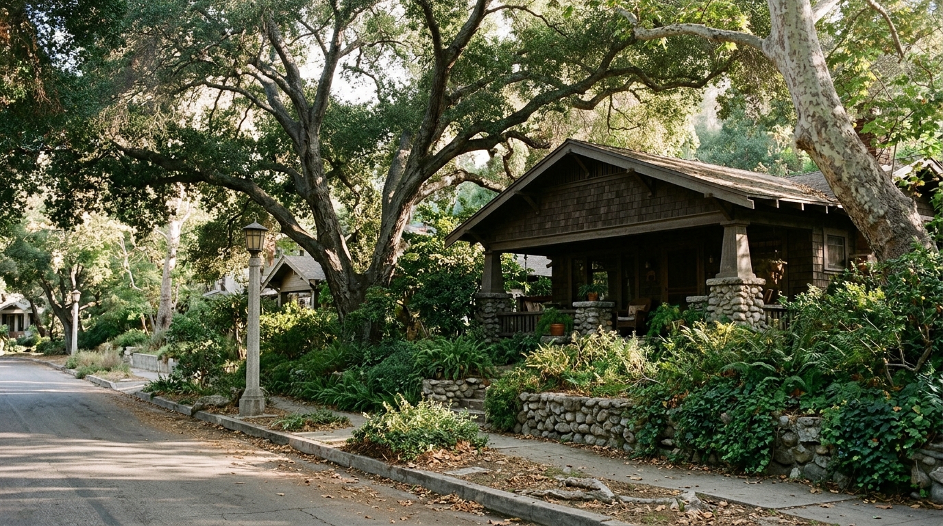
Indigenous communities knew the region long before modern suburban development. Later land uses and settlement patterns reshaped access to natural corridors. A responsible historical account recognizes this layered past and avoids presenting the development of a rail station or neighborhood as the beginning of local history.
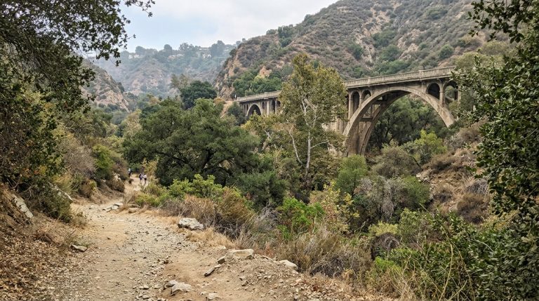
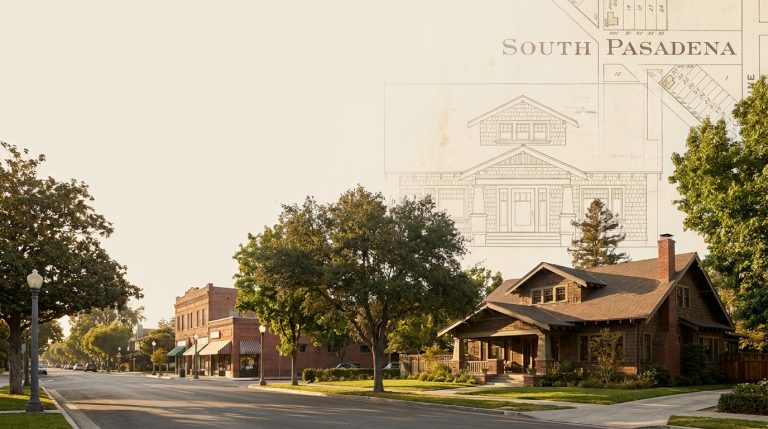
The landscape offers clues that street addresses alone cannot provide. A grade change, curved route, or bridge crossing may reflect how builders adapted to the arroyo. On an old map, observe the relationship between development and water flow before focusing on individual house lots. Different mapmakers emphasized different features, so compare survey dates and symbols. When an apparent historical route does not match today’s sidewalks, do not force the connection; describe what is certain and what still requires investigation.
Natural Corridors Influenced Settlement
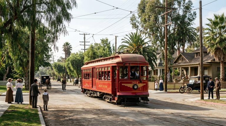
As transportation technology changed, streets, rail corridors and bridges influenced how people crossed and lived beside the arroyo. Different generations prioritized different kinds of movement. Historic maps can show those shifts, but they should be cross-checked with dated photographs and official records before claiming when a specific crossing was altered.
Transportation Changed the Arroyo’s Edges
The 710 freeway debate gives an unusually clear example of how transportation planning can affect historic places. Our article about former Caltrans homes explains the long shadow of a road project on neighborhood property. That history helps frame the Arroyo Seco as more than open land: it is part of the story of which routes were built, proposed or resisted.
Historic Preservation Includes Open Space
Open space contributes to historic character through views, trails, mature vegetation and the relationship between natural and built areas. Preservation need not mean freezing a landscape in an imagined past. Maintenance, public access, ecological concerns and infrastructure needs can all matter. The challenge is to interpret changes without losing the sense of place that gives the corridor meaning.
Community history is stronger when it includes more than the most photogenic architecture. Indigenous presence, land use, public works, rail travel, and later freeway planning all belong in the regional narrative. Sources may reflect the priorities and biases of the institutions that produced them. A property file can show an official decision without capturing every resident’s experience of it. Pairing documents with responsibly collected oral histories can enrich the account, provided memories are dated and not treated as precise substitutes for written records.
Read the Relationship Between Streets and Nature
A useful field visit might compare a present-day trail or bridge approach with an older map. Notice the slope of the terrain, nearby street alignments and how structures meet the landscape. Do not enter restricted areas or climb railings for photographs. Good historical observation can happen from public viewpoints without creating a safety risk.
How to Explore the Story Today
Historic photographs are powerful but can mislead when their captions are vague. Check where the photographer stood, what direction the camera faced and which objects anchor the date. A view with a bridge in the background should not be presented as proof of a precise construction year unless the source records support that claim.
For an official reference, review National Park Service historic preservation program. It provides a useful source to check alongside the practical guidance here. Confirm current information directly rather than relying on an undated copy or an unverified social post.
Use Maps Without Mistaking Them for the Whole Story
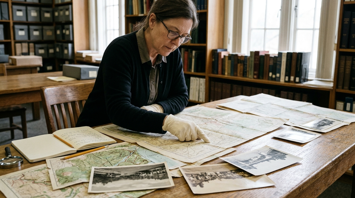
For deeper research, begin with the South Pasadena archives, city historical resources and National Register materials. Compare official records with local histories, and label uncertain claims. If one source describes a route by an old name, locate the corresponding modern geography before suggesting an itinerary for visitors.
For a public-history walk, select two or three accessible viewpoints rather than attempting to retrace every vanished route. Bring copies of dated maps, identify which direction each image faces, and write down how present structures relate to older terrain. Avoid entering creek channels during uncertain weather and respect trail closures. Small observations—such as an old alignment, mature tree canopy, or bridge approach—can generate meaningful questions for later research. The goal is to return with a better understanding, not to invent a complete history from one afternoon.
Use the following checklist as a decision record.
Complete the steps in a sensible order, make notes about any unresolved issue, and return to them before acting. The objective is to improve the quality of the next decision—not to claim that a single list replaces local rules or individual circumstances.
- Locate the modern trail or public viewpoint before visiting. Put the relevant date and location beside the result, so a future reader knows exactly when and where the information applies. Keep the original source available for comparison.
- Compare current maps with dated historical maps. Use this step to make a specific decision rather than collecting facts without a purpose. Where the answer is uncertain, choose the safer or more conservative option.
- Identify how roads and bridges follow the terrain. Keep related documents, photographs, or confirmations together in a clearly named folder. A simple record can prevent details from being lost when circumstances change.
- Use official heritage resources for dates and designations. If other people are involved, agree in advance who is responsible for this part of the plan. Do not rely on somebody else to guess that it has been completed.
- Respect closed areas, wildlife and creek conditions. Review the result whenever conditions or requirements change. An earlier check may be useful history, but it is not automatic proof of what applies today.
- Record uncertainty when an image or map is incompletely labeled. Know when to stop and ask an official source or qualified professional for help. A checklist can organize your judgment, but it cannot eliminate every risk.
Responsible Walking and Historical Research
South Pasadena Arroyo Seco history illustrates how a city is formed through the interaction of nature, transportation and community choices. Looking at that relationship gives readers a richer picture of heritage than a simple list of beautiful historic houses could provide.
For more context on a related issue, read our our history of the proposed 710 freeway and former Caltrans homes. That existing article approaches a different part of the subject; compare its scope before applying advice across situations.
Common questions
Is the Arroyo Seco only part of South Pasadena history? No. The watershed and corridor connect multiple communities across the Los Angeles region. Check the current source and the relevant location before acting; a general guide cannot account for every change in operating conditions, rules, or individual circumstances.
Can historical maps be treated as perfectly accurate? No. Compare them with other records, since scale and naming conventions can vary. Keep the underlying documents and dates accessible if you need to discuss the issue later. When the stakes are significant, obtain advice from an appropriate qualified source.
The value of this South Pasadena Arroyo Seco history guide is in a habit of verification: decide what matters, check the most relevant source, preserve the result, and update a plan when new facts appear. The underlying steps should remain useful even after the season or publication year has passed.